
Cajas by the numbers
01 / SURFACE & STORAGE
Similar size, different volume
Toreadora holds 35% more water than Llaviucu.
Laguna Toreadora
19.3 hasurface area2.19million m³ of waterLaguna Llaviucu
18.9 hasurface area1.62million m³ of water02 / THE LARGER LAKES
Lake shapes, heights and depths
See how the largest lakes stretch across the landscape. A long, branching shoreline can look very different from a compact lake, even when their surface areas are similar.
Laguna Luspa
- Area
- 77.5 ha
- Elevation
- 3,776 m
Laguna Oso Huayco
- Area
- 63.9 ha
- Elevation
- 3,856 m
Laguna Mamamag / Taita Chugo
- Area
- 57.3 ha
- Elevation
- 3,543 m
Laguna Lagarto Cocha
- Area
- 46.5 ha
- Elevation
- 4,001 m
Laguna Sunin Cocha Grande
- Area
- 40.4 ha
- Elevation
- 3,842 m
Laguna Ventanas
- Area
- 34.3 ha
- Elevation
- 3,913 m
Laguna Luspa
Laguna Oso Huayco
- Elevation above sea level
- Laguna Luspa: 3,776 m
- Laguna Oso Huayco: 3,856 m
- Surface area
- Laguna Luspa: 77.5 ha
- Laguna Oso Huayco: 63.9 ha
- Water volume
- Laguna Luspa: 22.37 million m³
- Laguna Oso Huayco: 13.92 million m³
- Deepest point
- Laguna Luspa: 65.3 m
- Laguna Oso Huayco: 75.5 m
- Average depth
- Laguna Luspa: 28.9 m
- Laguna Oso Huayco: 21.8 m
Laguna Oso Huayco sits 80 m higher than Laguna Luspa.
Laguna Luspa covers 1.21 times the surface of Laguna Oso Huayco, but holds 1.61 times the water.
The deepest point is 10.3 m farther down in Laguna Oso Huayco.
Laguna Luspa · 6 photos
Scroll through the photos. Select one to enlarge it.
 Thumbnail unavailable. Open the photograph.
 Thumbnail unavailable. Open the photograph.
 Thumbnail unavailable. Open the photograph.
 Thumbnail unavailable. Open the photograph.
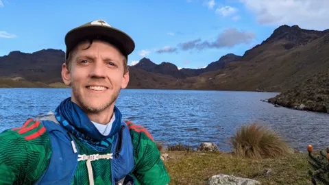 Thumbnail unavailable. Open the photograph.
 Thumbnail unavailable. Open the photograph.
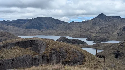
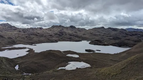
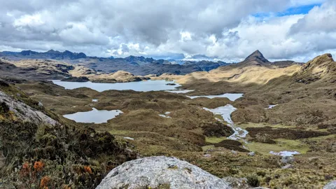
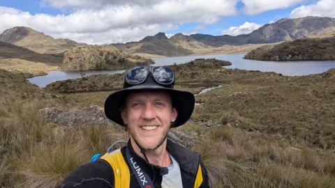
Laguna Oso Huayco · 12 photos
Scroll through the photos. Select one to enlarge it.
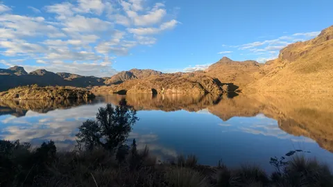 Thumbnail unavailable. Open the photograph.
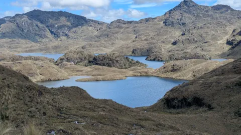 Thumbnail unavailable. Open the photograph.
 Thumbnail unavailable. Open the photograph.
 Thumbnail unavailable. Open the photograph.
 Thumbnail unavailable. Open the photograph.
 Thumbnail unavailable. Open the photograph.
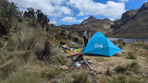 Thumbnail unavailable. Open the photograph.
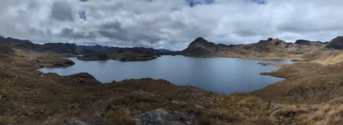 Thumbnail unavailable. Open the photograph.
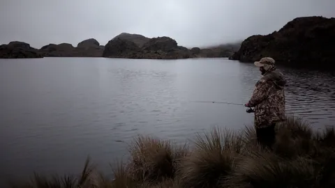 Thumbnail unavailable. Open the photograph.
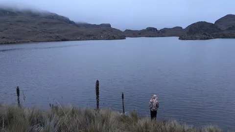 Thumbnail unavailable. Open the photograph.
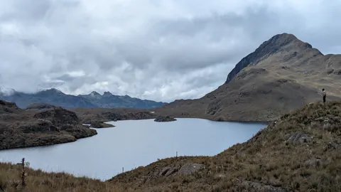 Thumbnail unavailable. Open the photograph.
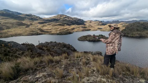 Thumbnail unavailable. Open the photograph.
03 / DEPTH & VOLUME
How much lake lies beneath?
Picture a building lowered into the water. Then imagine spreading that same water over a square of land.
Below the surface
Water surface
Same vertical scale. Imagine a building with 3 m per storey.
With a flat bottom and the same surface area, Laguna Toreadora would be 11.3 m deep everywhere.
Same water, new footprint
deep, spread evenly
Square sides: 1 km
- Water volume
- 2.19 million m³
Laguna Toreadora · 2 photos
Scroll through the photos. Select one to enlarge it.
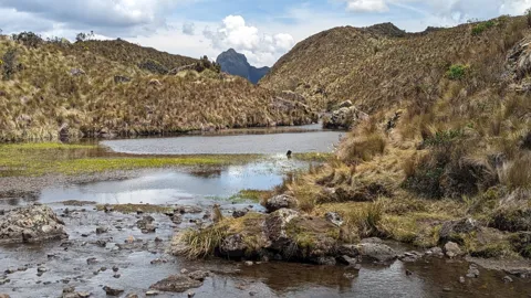 Thumbnail unavailable. Open the photograph.
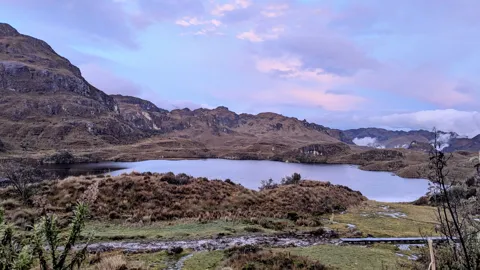 Thumbnail unavailable. Open the photograph.
04 / THE WHOLE INVENTORY
Thousands of little worlds
The Cajas Massif inventory includes 5,954 water bodies, from tiny pools to broad lakes. Counting them and measuring their surface tell two very different stories.
Share of water-body count
Share of water surface
05 / THE SURVEYED LAKES
A few lakes hold most of the water
Among the 201 surveyed lakes, ten hold almost two-thirds of the measured water.
Share of surveyed volume
The ten largest volumes million m³
06 / HIGH IN THE ANDES
A landscape stacked in elevation
More than half the water bodies lie between 3,800 m and 4,000 m above sea level. Compare their number with the area of water in each elevation band.
- Water bodies: 14,400–<4,600 mWater surface: 0.002 km²
- Water bodies: 2284,200–<4,400 mWater surface: 0.419 km²
- Water bodies: 1,6504,000–<4,200 mWater surface: 4.11 km²
- Water bodies: 3,0583,800–<4,000 mWater surface: 10.194 km²
- Water bodies: 8673,600–<3,800 mWater surface: 3.31 km²
- Water bodies: 1493,400–<3,600 mWater surface: 0.901 km²
- Water bodies: 03,200–<3,400 mWater surface: 0 km²
- Water bodies: 13,000–<3,200 mWater surface: 0.189 km²
Each side has its own scale. Upper elevation limits are excluded.
07 / SHAPE & WATERSHED
Beyond the water’s edge
A long, narrow lake and a compact lake can cover the same area. Their shorelines and the land draining towards them add another dimension.
Laguna Llaviucu
- Maximum length × width
- 744.3 × 389.3 m
- Length-to-width ratio
- 1.91:1
Mapped outline, north up · © OpenStreetMap
More shore for the same area
1.53 times the shoreline of an equal-area circle.
The watershed around the lake
The reported watershed covers 252.6 times the lake’s surface.
Squares compare areas. The watershed is the surrounding drainage area.
Laguna Llaviucu · 2 photos
Scroll through the photos. Select one to enlarge it.
 Thumbnail unavailable. Open the photograph.
 Thumbnail unavailable. Open the photograph.
RECORDS · SELECT ONE TO SEE ITS RANKING
08 / RANKINGS
Every lake, ranked
Rank all 201 named lakes by area, depth or elevation. Open a lake to see its photo, where it lies, its nearest summit and what its name means.
Largest lakes by surface area
Most named lakes are small: 63 of the 201 cover less than 1 ha.
- Thumbnail unavailable. Open the photograph.
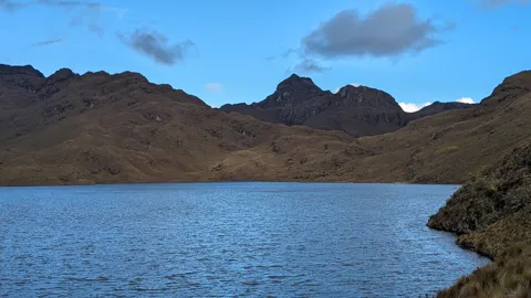
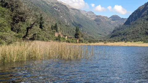
A blue lake beneath dark ridgesTrail Running Ecuador · Uso editorial con crédito View all 6 photos
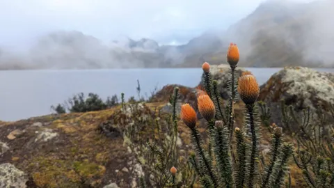
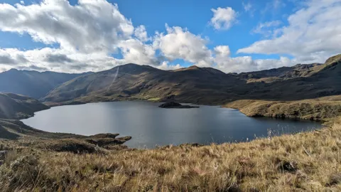
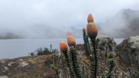
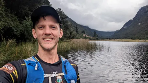
Thumbnail unavailable. Open the photograph.Orange flower heads beside a misty lake. Identified subject: Chuquiragua / flor de montaña.Trail Running Ecuador · Uso editorial con crédito Thumbnail unavailable. Open the photograph.Clouds over mountain lake.Trail Running Ecuador · Uso editorial con crédito Thumbnail unavailable. Open the photograph.Páramo plants in the foreground above a misty mountain lake. Identified subject: Chuquiragua / flor de montaña.Trail Running Ecuador · Uso editorial con crédito Thumbnail unavailable. Open the photograph.Runner selfie by mountain lake.Travis Pence · All rights reserved Thumbnail unavailable. Open the photograph.Self-portrait beside Luspa under blue skies.Travis Pence · All rights reserved - Surface area
- 77.5 haLargest of 201
- Max depth
- 65.3 m2nd deepest of 201
- Elevation
- 3,776 m181st highest of 201
- Nearest named summit
- 2.5 kmCerro Amarillo
Behind the nameNamed for the slippery ground, nearly impassable from moisture and gelatinous green moss.
MEASUREMENT TERMS
What do these measurements mean?
Metric: metres (m), hectares (ha), cubic metres (m³). Imperial: feet (ft), acres, cubic feet (ft³); larger areas use square miles (mi²).
- Surface area
- How much ground the water covers when you look from above. Think of the lake’s footprint.
- Volume
- All the water held in the lake, from the surface to the bottom. A cubic metre is a box 1 metre on each side, holding 1,000 litres.
- Maximum and average depth
- Maximum depth is the deepest single point. Average depth is how deep the water would be everywhere if the bottom were flat and the surface stayed the same size.
- Shoreline
- The edge where water meets land. Bays and narrow arms can give a lake a long shoreline without a large surface.
- Watershed
- The surrounding land that drains towards the lake. Rain falling there can reach it through streams and runoff.
- Elevation
- How high the lake’s surface sits above sea level. Depth measures down into the water; elevation measures up from sea level.
- Median
- The middle value when the lakes are put in order: half have a smaller value and half a larger one.
KEEP EXPLORING
40 facts about the lakes of Cajas
Browse the facts by subject. Depth and volume facts refer to the 201 surveyed lakes.
The inventory 2
- The inventory includes 5,954 water bodies; 201 have depth and volume measurements.
- The surveyed lakes are 3.4% of the inventory by number, but cover 61.8% of its water surface.
Surface area 8
- Together, the water bodies cover 19.12 km² (1,912.4 ha).
- 5,689 water bodies (95.5%) are smaller than 1 ha.
- Only 265 reach 1 ha, yet they contain 86% of the water surface.
- 3,089 water bodies (51.9%) are smaller than 100 m².
- The median area is 92.8 m²: the area of a square 9.6 m on each side.
- Only 46 water bodies reach 10 ha.
- Luspa is the largest lake in the inventory, at 77.5 ha.
- Toreadora is only 2.3% larger than Llaviucu at the surface, but holds 35.3% more water.
Depth 7
- Oso Huayco has the deepest measured point: 75.5 m.
- Hunanchi has the greatest average depth among the surveyed lakes: 30.6 m. Its deepest point reaches 63 m.
- Toreadora averages 11.3 m deep and reaches 29.2 m at its deepest point.
- Llaviucu averages 8.6 m deep and reaches 16.5 m at its deepest point.
- Luspa is deeper on average than Oso Huayco: 28.9 m versus 21.8 m.
- 30 surveyed lakes reach at least 20 m; 8 reach at least 50 m.
- Across the surveyed lakes, the median maximum depth is 5.97 m and the median average depth is 1.89 m.
Water volume 4
- The 201 surveyed lakes together hold 139.41 million m³ of water.
- The ten largest surveyed volumes contain 63.9% of that water.
- Luspa alone holds 22.37 million m³, or 16% of the surveyed total.
- Luspa holds approximately 10.2 Toreadoras worth of water.
Familiar comparisons 4
- Oso Huayco’s deepest point is equivalent to 25.2 storeys, allowing 3 m per storey.
- Toreadora holds about 874 pools of 50 × 25 × 2 m. Luspa holds about 8,948.
- Spread over a 1 km × 1 km square, Toreadora’s water would be 2.19 m deep; Luspa’s would be 22.37 m deep.
- Luspa’s surface equals about 108.5 football pitches of 105 × 68 m.
Elevation 6
- Lake elevations range from 3,152 m to 4,424 m above sea level.
- 3,058 water bodies (51.4%) lie from 3,800 m to below 4,000 m, containing 53.3% of the water surface.
- 1,879 water bodies (31.6%) lie at or above 4,000 m.
- The median water-body elevation is 3,937 m.
- Llaviucu is the lowest, at 3,152 m. The highest inventory entry, unnamed lake 71, lies at about 4,424 m.
- Juan Pasana is the highest surveyed lake, at 4,294 m.
Shape and shoreline 5
- The inventory’s individual shoreline lengths add to 776.69 km.
- Oso Huayco has the longest recorded shoreline: 8.8 km.
- Oso Huayco has 3.1 times the shoreline of a circle with the same area; Toreadora has 2.6 times.
- Toreadora has 71.5% more shoreline than Llaviucu.
- Quinuas Cocha’s length-to-width ratio is 5.52:1; Hunanchi’s is 1.13:1.
Watersheds 4
- Llaviucu’s reported watershed covers 47.7 km², about 253 times the lake’s surface.
- Toreadora’s reported watershed covers 5.26 km², about 27.2 times the lake’s surface.
- Llaviucu’s reported watershed is 9.1 times Toreadora’s, despite their similar lake surfaces.
- Luspa’s watershed-to-lake area ratio is 24.9:1; Oso Huayco’s is 12.1:1.