
Rural parish · Cuenca, Ecuador
Chiquintad, Cuenca
Explore Chiquintad, Cuenca, through its rural communities, landscape, history and routes that connect the parish with the canton.
Plaza, waterfall & highland water
Explore Chiquintad
Find the parish centre, the San Antonio waterfall and the highland reservoir. Numbers on the map match the list.
Explore the places below.
6 places
- 1Plaza de ChiquintadVisit
The central plaza brings together parish life and the church.
- 2Iglesia de San MarcialVisit
The church dedicated to San Marcial stands in central Chiquintad.
- 3Cascada de San AntonioOutdoors
A waterfall in the countryside west of the parish centre.
- 4Capilla de Santa TeresitaVisit
A community chapel north of central Chiquintad.
- 5San Francisco de TixánVisit
A rural community in the lower part of the parish.
- 6Embalse El LabradoOutdoors
The reservoir lies in the mountain landscape above Chiquintad.
Imagery: Cuenca · ESA · Copernicus. © OpenStreetMap contributors. Map sources
A name with two memories
The parish government preserves two origin stories for Chiquintad: a Quechua reading connected with a destructive fire and a Cañari reading connected with a place of ill omen. The current territorial diagnosis adds the 1577 San Marcial record and the 1878 civil recognition, giving the parish's identity both oral and documentary layers. 1 2
Water, energy and highland ecology
At Saymirín, excess water from an irrigation canal built between 1969 and 1974 was diverted toward the Machángara River, creating the waterfall. The Gruta de Saymirín is a place of devotion for people from Chiquintad and Checa. The Chanlud and El Labrado reservoirs and the Saucay and Saymirín power plants are part of the same river system, which also supplies water to the Tixán treatment plant. 2 4
San Antonio and outdoor culture
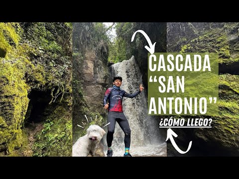
Cuenca's rural tourism route presents Chiquintad through cycling and the San Antonio waterfall, while the parish's own video catalog documents the waterfall, local landscapes and community celebrations. The municipality's public identity program calls Chiquintad a parish for nature sport. 3 5 6
Videos
YouTube · 6
Cascada San Antonio escondida en Cuenca - Chiquintad | ¿Cómo llego?
GAD Parroquial de Chiquintad / YouTube
Exact YouTube video linked from the parish's official video index, focused on the San Antonio waterfall.
Watch on YouTube
PDFs and documents
PDF · 2
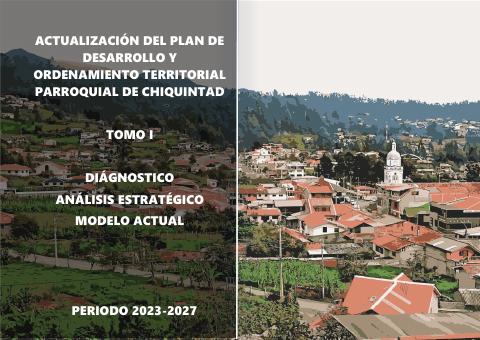
Actualización del PDOT de Chiquintad 2023–2027. Tomo I, diagnóstico
GAD Parroquial de Chiquintad · 2024 · 287 pages
The 2024 diagnosis covers parish history (PDF pp. 45–46), water infrastructure and the waterfalls and gruta of Saymirín (pp. 214–218).
Open documentPDF · 7
Actualización del PDOT de Chiquintad 2023–2027. Tomo II, propuesta y modelo de gestión
GAD Parroquial de Chiquintad · 2024 · 60 pages
The companion volume sets out proposed agreements for heritage recovery and tourism (PDF pp. 38, 48).
Open document
Government and further reading
Official source · 1
Historia de la Parroquia
GAD Parroquial de Chiquintad
Official page preserving the two local explanations for Chiquintad's name and its Cañari and Quechua cultural memory.
Visit sourceOfficial source · 3
Alcalde Cristian Zamora inaugura la ruta turística rural Sinincay, Chiquintad y Checa
GAD Municipal de Cuenca · 2024-07-01
Municipal launch of the rural circuit, including Chiquintad's cycling and San Antonio waterfall experience.
Visit sourceOfficial source · 4
Chiquintad parroquia para el deporte en la naturaleza
GAD Municipal de Cuenca
Municipal identity proposal describing Chiquintad's natural landscape and outdoor-sport potential.
Visit sourceOfficial source · 5
Videos
GAD Parroquial de Chiquintad
Official video index linking parish celebrations, landscapes, the San Antonio waterfall and local nature content.
Visit source
Something changed?
A stop moved, a line changed or a place closed? Tell us and we will check it.
Report a problem