
Urban parish · Cuenca, Ecuador
El Batán
El Batán is a west-central urban parish on the Tomebamba side of Cuenca. Its name preserves a working landscape of mills, craft and water, while its current perimeter includes consolidated streets, public facilities and the western river corridor.
Water, work and a blurred old edge
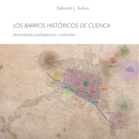
Municipal heritage research places the old Batán among sixteenth-century land grants and records Indigenous and mestizo craftspeople, including shoemakers, barbers, a hatter, a dyer, tailors and weavers. It also cautions that historical Batán, Cullca and San Sebastián edges were mobile and blurred; the 1982 ordinance supplies the current urban administrative frame. 2 1
A western civic corridor
A municipal planning document locates a proposed Type-C health centre in El Batán's SENPLADES sector, opposite Avenida Loja, showing how the parish remains part of citywide service planning. The university parks inventory lists nine neighbourhood parks in El Batán. 3 4
Videos
YouTube · 5
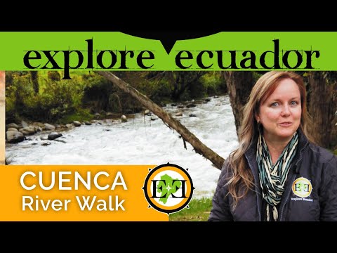
Walking in Cuenca | Río Tomebamba
Go Explore Ecuador · 2021-01-30
Walking tour along the Tomebamba, beginning at the Avenida Unidad Nacional bridge and showing river and neighborhood views relevant to El Batán.
Watch on YouTube
PDFs and documents
PDF · 2
El Batán: los indios forasteros y Gil Ruiz de Tapia
GAD Municipal de Cuenca
Municipal heritage research on the old Batán, land grants and craft workers.
Open document
PDF · 3
Fichas de equipamientos priorizados: Centro de Salud Tipo C
GAD Municipal de Cuenca
Municipal planning PDF locating a proposed Type-C health centre in El Batán's SENPLADES sector.
Open document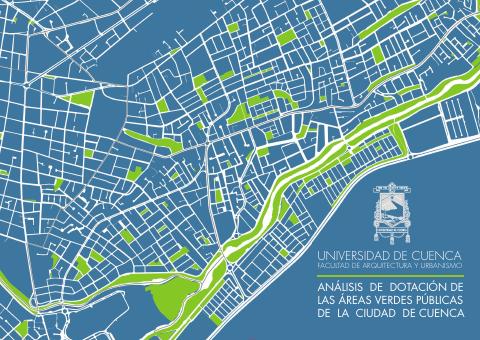
PDF · 4
Parques barriales de Cuenca
Universidad de Cuenca
Academic inventory reporting nine neighbourhood parks in El Batán.
Open document
Government and further reading
Official source · 1
Ordenanza de División de las Parroquias Urbanas de la Ciudad de Cuenca (1982)
GAD Municipal de Cuenca · 1982-06-14
Official administrative boundary for El Batán.
Visit source