
Urban parish · Cuenca, Ecuador
El Vecino, Cuenca
Explore El Vecino, a northern Cuenca parish shaped by the Rafael María Arízaga corridor, hat making, murals and neighborhood history.
Historic squares & parks
Explore El Vecino
Discover El Vecino’s historic landmarks and northern parks. Numbers on the map match the list.
Explore the places below.
6 places
- 1Plazoleta del RolloVisit
Discover the historic square and its colonial pillory.
- 2Iglesia de San José de El VecinoVisit
See the historic church on Rafael María Arízaga and Manuel Vega.
- 3Parque MirafloresOutdoors
Explore the large green space in Miraflores.
- 4Parque de los HéroesOutdoors
Find a neighbourhood park in El Vecino.
- 5Parque Jerónimo CarriónOutdoors
Pause in a park near the historic El Vecino quarter.
- 6Parque La SerenataOutdoors
Explore a neighbourhood green space in the northern city.
Imagery: Cuenca · ESA · Copernicus. © OpenStreetMap contributors. Map sources
Road, rollo and parish formation
Municipal research describes Rafael María Arízaga as the colonial Real del Vecino, a route associated with the forces that entered Cuenca during independence. It records El Vecino's consolidation as an urban civil parish in 1942, while the 1982 ordinance defines today's administrative area from Miraflores and the urban limit toward the Machángara and Panamericana; barrio and parish are related but not identical scales. 2 1
Toquilla, murals and public memory
Fundación Municipal Turismo identifies the Museo Municipal de la Paja Toquilla y el Sombrero as a former finishing factory, teaching school, collection point and export center, and describes the mural route along Rafael María Arízaga. The linked video is an art project about those murals. 3 4
Videos

YouTube · 4
Murales de El Vecino: proyecto GARA Visita
José Luis Jácome Guerrero / Dirección Municipal de Cultura referenciada
A project video linked from the cultural research on the Rafael María Arízaga murals and El Vecino memory route.
Watch on YouTube
PDFs and documents
PDF · 2
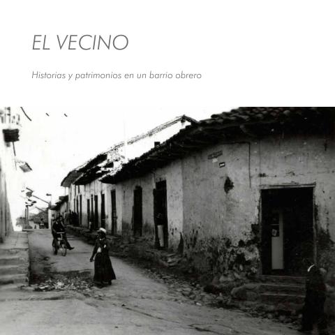
El Vecino: historias y patrimonios en un barrio obrero
GAD Municipal de Cuenca
Municipal heritage research on the road, the 1942 civil parish and the barrio's social history.
Open document
Government and further reading
Official source · 1
Ordenanza de División de las Parroquias Urbanas de la Ciudad de Cuenca (1982)
GAD Municipal de Cuenca · 1982-06-14
Official boundary description for El Vecino's urban administrative parish.
Visit sourceWebsite · 3
Barrio El Vecino
Fundación Municipal Turismo para Cuenca · 2022-10-03
Official tourism page for the Rollo, hat museum and mural route; it describes the named barrio within the larger parish.
Visit source
Something changed?
A stop moved, a line changed or a place closed? Tell us and we will check it.
Report a problem