
Urban parish · Cuenca, Ecuador
Huayna Cápac
Huayna Cápac occupies the river plain south of the Tomebamba and around the Yanuncay confluence. Its identity links the former Ejido and later urban expansion with university, museum, park and river landscapes, including places that visitors may know better than the parish name.
From Ejido land to an urban parish
The 1982 ordinance describes Huayna Cápac through the southern Tomebamba bank, the Yanuncay, the Chaguarchimbana creek, the urban limit and the road to Turi. A university study records that the plan districts the parish in the city's southern area. 1 2
Parks, rivers and Pumapungo
A University of Azuay park study places Parque El Paraíso at the Tomebamba–Yanuncay crossing in Huayna Cápac and describes its vegetation, paths and daily recreation. The official tourist guide also identifies the Pumapungo archaeological park and museum on Calle Larga and Huayna Cápac; these are named anchors for the parish's river-and-knowledge landscape. 3 4 5
Videos

YouTube · 5
Recorriendo el Parque El Paraíso en Cuenca | Sonido real
back tapes · 2025-05-11
A recent quiet walk through Parque El Paraíso.
Watch on YouTube
PDFs and documents
PDF · 2
Parroquia Huayna Cápac
Universidad del Azuay
Academic territorial study that locates Huayna Cápac in Cuenca's southern district and discusses urban services.
Open document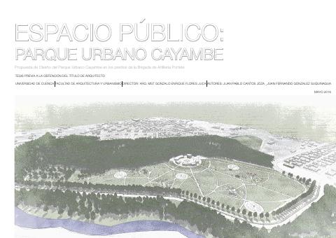
PDF · 3
Parque Urbano Cayambe: parques de mayor relevancia en Cuenca
Universidad de Cuenca
Landscape study locating Parque El Paraíso at the Tomebamba–Yanuncay crossing in Huayna Cápac.
Open document
PDF · 4
Cuenca Turística Vacacional
Fundación Municipal Turismo para Cuenca
Official visitor guide with Pumapungo, river, park and museum references around Huayna Cápac.
Open document
Government and further reading
Official source · 1
Ordenanza de División de las Parroquias Urbanas de la Ciudad de Cuenca (1982)
GAD Municipal de Cuenca · 1982-06-14
Official boundary description using the Tomebamba, Yanuncay, Chaguarchimbana and Turi road.
Visit source