
Urban parish · Cuenca, Ecuador
Sucre
Sucre is a south-western urban parish whose name honours Antonio José de Sucre. The parish includes the historic San Roque area, former riverside quintas and busy modern corridors; the old neighbourhood names and today's parish limits overlap but are not the same.
San Roque and the western river edge
A University of Cuenca urban study identifies San Roque as an historic neighbourhood instituted in 1751 and links it to the formation of the urban parish Sucre. It also describes former vacation quintas, the landscape that later hosted the University of Cuenca and older crafts such as shoemaking; the 1982 ordinance defines Sucre with the Tomebamba, Yanuncay, Loja and Unidad Nacional as its administrative frame. 2 1
A living urban corridor
The city's parks inventory names Parque Latinoamericano, Parque Napo and several neighbourhood parks in Sucre, while the municipal tourist map marks the San Roque area and nearby churches. 3 4
Videos

YouTube · 5
San Roque barrio tradicional de Cuenca
Telerama · 2015-10-12
Telerama feature on San Roque, the traditional Cuenca neighborhood within the urban Sucre parish.
Watch on YouTube
PDFs and documents
PDF · 2
Proceso de crecimiento en altura: parroquia Sucre
Universidad de Cuenca
Academic urban study on San Roque, former quintas, the University of Cuenca and Sucre's urban evolution.
Open document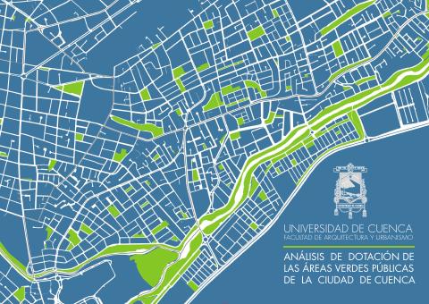
PDF · 3
Parques barriales de Cuenca
Universidad de Cuenca
Academic inventory identifying Parque Latinoamericano, Parque Napo and other Sucre parks.
Open document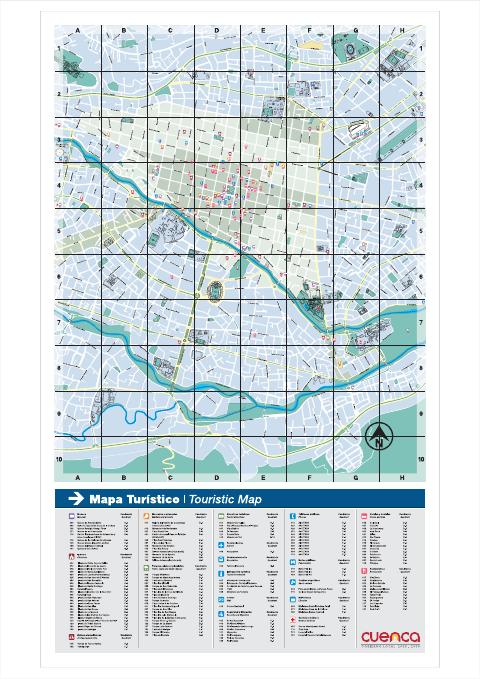
PDF · 4
Mapa Turístico de la Ciudad de Cuenca
GAD Municipal de Cuenca
Official map of San Roque, churches, plazas and central public-space references.
Open document
Government and further reading
Official source · 1
Ordenanza de División de las Parroquias Urbanas de la Ciudad de Cuenca (1982)
GAD Municipal de Cuenca · 1982-06-14
Official administrative boundary for the urban parish Sucre.
Visit source