
Rural parish · Cuenca, Ecuador
Victoria del Portete, Cuenca
Learn about Victoria del Portete, Cuenca, with its rural communities, landscape, history and source-backed parish map.
Parish plaza & historic countryside
Explore Victoria del Portete
Find the parish centre and the historic landscape around Portete. Numbers on the map match the list.
Explore the places below.
6 places
- 1Plaza de Victoria del PorteteVisit
The central plaza is a meeting place beside the parish church.
- 2Iglesia de Victoria del PorteteVisit
The parish church stands in the centre of Victoria del Portete.
- 3Monumento a la Virgen del MonteVisit
A monument to the Virgen del Monte beside the parish plaza.
- 4Templete de la Batalla de TarquiVisit
A monument recalls the battle fought in the fields of Portete.
- 5IrquisVisit
A rural community south of Victoria del Portete.
- 6Mirador Tres CrucesOutdoors
A hilltop lookout north of the parish centre.
Imagery: Cuenca · ESA · Copernicus. © OpenStreetMap contributors. Map sources
A name carried by a battlefield
The parish PDOT states that Victoria del Portete takes its name from the battle fought in its fields in 1829 and places it south of Cuenca, between Tarqui, Baños, Cumbe and Girón. The same document separates this territorial description from the practical question of access, which it describes through the Cuenca–Girón–Pasaje road and an older alternative route. 1 2
Dairy country and rural celebrations
Cuenca's rural-identity program names Victoria del Portete as a parish of dairy products. Municipal anniversary coverage describes cultural, religious, gastronomic and adventure activities, including a cheese contest, livestock fair and food festival. Dates change from year to year. 5 4
Toponymy, valley and heritage routes
The University of Cuenca thesis on Cumbe and Victoria del Portete documents toponyms through historical records, dictionaries, interviews, surveys and GIS, treating them as cultural heritage. A municipal rural route links Victoria del Portete with Tarqui and Turi, while the French Route project connected this southern rural landscape to the history of the Geodesic Mission. Together these sources offer a richer account than the battlefield name alone. 3 6 7
Videos

YouTube · 8
Rendición de Cuentas 2021
GAD Parroquia de Victoria del Portete
Institutional accountability video linked from the Victoria del Portete GAD site.
Watch on YouTube
PDFs and documents
PDF · 1
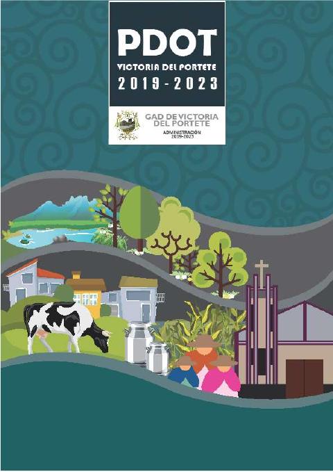
PDOT Victoria del Portete 2019–2023
GAD Parroquial de Victoria del Portete · 2021
Official parish plan with location, battle-name origin, boundaries, access, production and territorial diagnosis.
Open document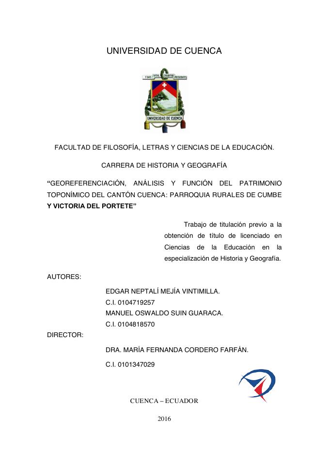
PDF · 9
Georeferenciación, análisis y función del patrimonio toponímico del cantón Cuenca: parroquias rurales de Cumbe y Victoria del Portete
Universidad de Cuenca · 2017
A University of Cuenca study of place names, language, memory and cultural landscapes in Cumbe and Victoria del Portete.
Local PDF copy · 132 pages
Open document
Government and further reading
Official source · 2
GAD Parroquia de Victoria del Portete
GAD Parroquial de Victoria del Portete
Official parish portal with location, territorial limits, documents, festivities and institutional links.
Visit sourceWebsite · 3
Georeferenciación, análisis y función del patrimonio toponímico del cantón Cuenca: parroquias rurales de Cumbe y Victoria del Portete
Edgar Neptalí Mejía Vintimilla y Manuel Oswaldo Suin Guaraca / Universidad de Cuenca · 2017
University thesis record and full-text origin for the local toponymy PDF covering Cumbe and Victoria del Portete.
Visit sourceOfficial source · 4
Victoria del Portete celebra 81 años de parroquialización
GAD Municipal de Cuenca · 2025-09-02
Municipal 2025 anniversary announcement covering cultural, gastronomic and adventure programming.
Visit sourceOfficial source · 5
Identidad rural de las 21 parroquias rurales
GAD Municipal de Cuenca · 2025
Municipal program naming Victoria del Portete as a dairy-products parish and connecting it to rural routes.
Visit sourceOfficial source · 6
Turismo Rural activa nueva ruta Victoria del Portete–Tarqui–Turi
GAD Municipal de Cuenca · 2024
Municipal account of a route from San Blas through Victoria del Portete, Tarqui and Turi, including historic and dairy stops.
Visit sourceOfficial source · 7
Proyecto Ruta Francesa Rural toma fuerza
Dirección General de Cultura, Recreación y Conocimiento de Cuenca · 2021-03-11
Municipal culture report on the proposed historical route through Tarqui, Victoria del Portete and Cumbe following the Geodesic Mission.
Visit source
Walks through this parish
- Francés Urco - Tarqui · CaminANTES Route 11
- Shío · CaminANTES Route 12
Something changed?
A stop moved, a line changed or a place closed? Tell us and we will check it.
Report a problem