
Urban parish · Cuenca, Ecuador
Monay, Cuenca
See Monay, Cuenca, through its Tomebamba river valley, neighborhoods, parks, urban gardens and everyday city life.
Parks & the Tomebamba
Explore Monay
Explore Monay’s neighbourhood parks and riverside green spaces. Numbers on the map match the list.
Explore the places below.
6 places
- 1Parque Monay ChicoOutdoors
Explore the neighbourhood park in Monay Chico.
- 2Parque del EdénOutdoors
Find the park on Las Primicias and Quiteño Libre.
- 3Parque AntárticoOutdoors
Take a break in the park on Paz and Lima.
- 4Parque AndalucíaOutdoors
Explore the park on General Artigas and Gabriela Mistral.
- 5Parque NangaritzaOutdoors
Find a small park on Rómulo Gallegos and Asturias.
- 6Parque Riberas del TomebambaOutdoors
Explore a green space beside the Tomebamba.
Imagery: Cuenca · ESA · Copernicus. © OpenStreetMap contributors. Map sources
A parish built through neighborhood action
The 1982 ordinance sets Monay between Max Uhle, González Suárez, Milchichig, the urban limit and the Yanuncay–Tomebamba system. An academic public-health study traces the Tomebamba housing development to a Banco de la Vivienda program around 1980 and says infrastructure was pursued through neighborhood management, a grounded account of how the eastern city expanded. 1 2
Riverside enterprise and everyday services
A 2024 El Mercurio report describes Bosque de Monay II as an 1980s neighborhood near the Río Cuenca, with home-based shops, bakeries, workshops, restaurants and urban gardens. The city's parks inventory lists Riveras del Tomebamba, Parque El Seminario, Parque Latino and other Monay parks; the official Monay Shopping site presents the commercial center as an eastern meeting point. 3 4 5
Videos

YouTube · 6
PARQUE EL PARAÍSO CUENCA ECUADOR
Rodrigo Ochoa AVENTUREANDO · 2023-07-09
Visual context for Parque El Paraíso and the surrounding river landscape, with trees, the lagoon and open green space, filmed in 2023.
Watch on YouTube
PDFs and documents
PDF · 2
Análisis de salud pública: recorrido histórico de Monay (Tomebamba)
Universidad Andina Simón Bolívar
Academic case study that connects Monay/Tomebamba to Banco de la Vivienda housing and neighborhood infrastructure management.
Open document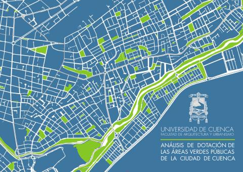
PDF · 4
Parques barriales de Cuenca
Universidad de Cuenca
Academic inventory listing Monay parks including Riveras del Tomebamba, El Seminario and Latino.
Open document
Government and further reading
Official source · 1
Ordenanza de División de las Parroquias Urbanas de la Ciudad de Cuenca (1982)
GAD Municipal de Cuenca · 1982-06-14
Official boundary description for the eastern urban parish Monay.
Visit sourceWebsite · 3
El Bosque de Monay II, un barrio de huertos urbanos
Diario El Mercurio · 2024-09-13
Local reporting on the 1980s Bosque de Monay II neighborhood, river setting and home-based activity.
Visit sourceWebsite · 5
Monay Shopping
Monay Shopping
Commercial center site identifying itself as a meeting point in eastern Cuenca's Monay sector.
Visit source
Walks through this parish
- Ucubamba – Cerro Cabullín - Rayoloma · CaminANTES Route 7
Something changed?
A stop moved, a line changed or a place closed? Tell us and we will check it.
Report a problem