
Rural parish · Cuenca, Ecuador
Paccha, Cuenca
Visit Paccha, Cuenca, through its central plaza, Virgen Dolorosa sanctuary, ridge viewpoints, crafts and rural parish life.
Plaza, hills & lagoon
Explore Paccha
Discover the parish plaza and the hills and lagoon around Paccha. Numbers on the map match the list.
Explore the places below.
6 places
- 1Parque de PacchaVisit
The central park stands beside the parish sanctuary.
- 2Santuario de la Virgen de los DoloresVisit
The sanctuary is a landmark of religious life in Paccha.
- 3Cerro GuagualzhumiOutdoors
A hill east of the parish centre with a broad view of the countryside.
- 4Laguna de QuituiñaOutdoors
A lagoon in the rural landscape east of central Paccha.
- 5La DolorosaVisit
A rural community in the hills north of Paccha.
- 6AuzhangataVisit
A community in the hills near the parish centre.
Imagery: Cuenca · ESA · Copernicus. © OpenStreetMap contributors. Map sources
Church, plaza and parish life
Cuenca's public-space plan identifies the Virgen Dolorosa sanctuary as Paccha's principal cultural and tourist attractor and the central plaza as a daily gathering place with play and sports spaces. The plan also records the annual parish-creation commemoration in the central plaza. 1 3
Views, earth and plant fibres
A 2023 El Mercurio report describes Paccha's mirador landscapes and artisans who work with totora and clay. It places the viewpoint story in the ridge country around La Dolorosa and Auzhangata. 2 1
Devotion in moving images
A Canal RTU report from 2013 documents the Good Friday procession of the Virgen de los Dolores in Paccha and its large devotional gathering. It gives a good sense of the parish's religious life. 3
Videos
YouTube · 3
Parroquia Paccha de Cuenca es escenario de la procesión de la Virgen de los Dolores
CANAL RTU · 2013-03-28
2013 news video of the Good Friday Virgen de los Dolores procession in Paccha.
Watch on YouTube
PDFs and documents
PDF · 1
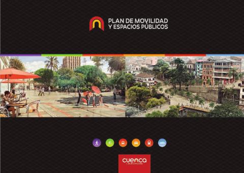
Plan de Movilidad y Espacios Públicos de Cuenca 2015–2025, cabeceras parroquiales: Paccha
GAD Municipal del Cantón Cuenca · 2015
Municipal planning PDF describing Paccha's sanctuary, central plaza, parish center and inter-parish connections.
Open document
PDF · 5
Estudio y georeferenciación de las toponimias de la parroquia rural de Paccha
Universidad de Cuenca · 2015
A University of Cuenca thesis mapping Paccha place names with linguistic origin, etymology, coordinates and local history.
Local PDF copy · 181 pages
Open document
Government and further reading
Website · 2
La historia de Paccha en su mirador y en su artesanía
El Mercurio · 2023-05-06
Local report on Paccha viewpoints, totora and clay artisanship.
Visit sourceWebsite · 4
Nuestra gente, n° 5 Paccha
Red de Bibliotecas Municipales de Cuenca · 2008
Municipal library catalog record for the 2008 parish history and tourism booklet on Paccha.
Visit source
Walks through this parish
- Cerro Plateado - cerro Guagualzhumi · CaminANTES Route 4
- Cerro Guagualzhumi - Paccha · CaminANTES Route 5
- Guagualzhumi - cerro Jalshi · CaminANTES Route 6
- Ucubamba – Cerro Cabullín - Rayoloma · CaminANTES Route 7
Something changed?
A stop moved, a line changed or a place closed? Tell us and we will check it.
Report a problem